6 Reasons Why 4DSKY is the Upgrade Aviation Needs


1. THE INVISIBLE THREAT (DRONES)
The Problem:
Right now, “rogue” drones and low-altitude aircraft are flying undetected near critical infrastructure. The FAA receives over 100 reports of drone sightings near airports every single month. Legacy networks rely on ADS-B, a signal that many small drones do not transmit. This creates massive “blind zones” in our neighborhoods, where a mid-air collision is just a matter of time.
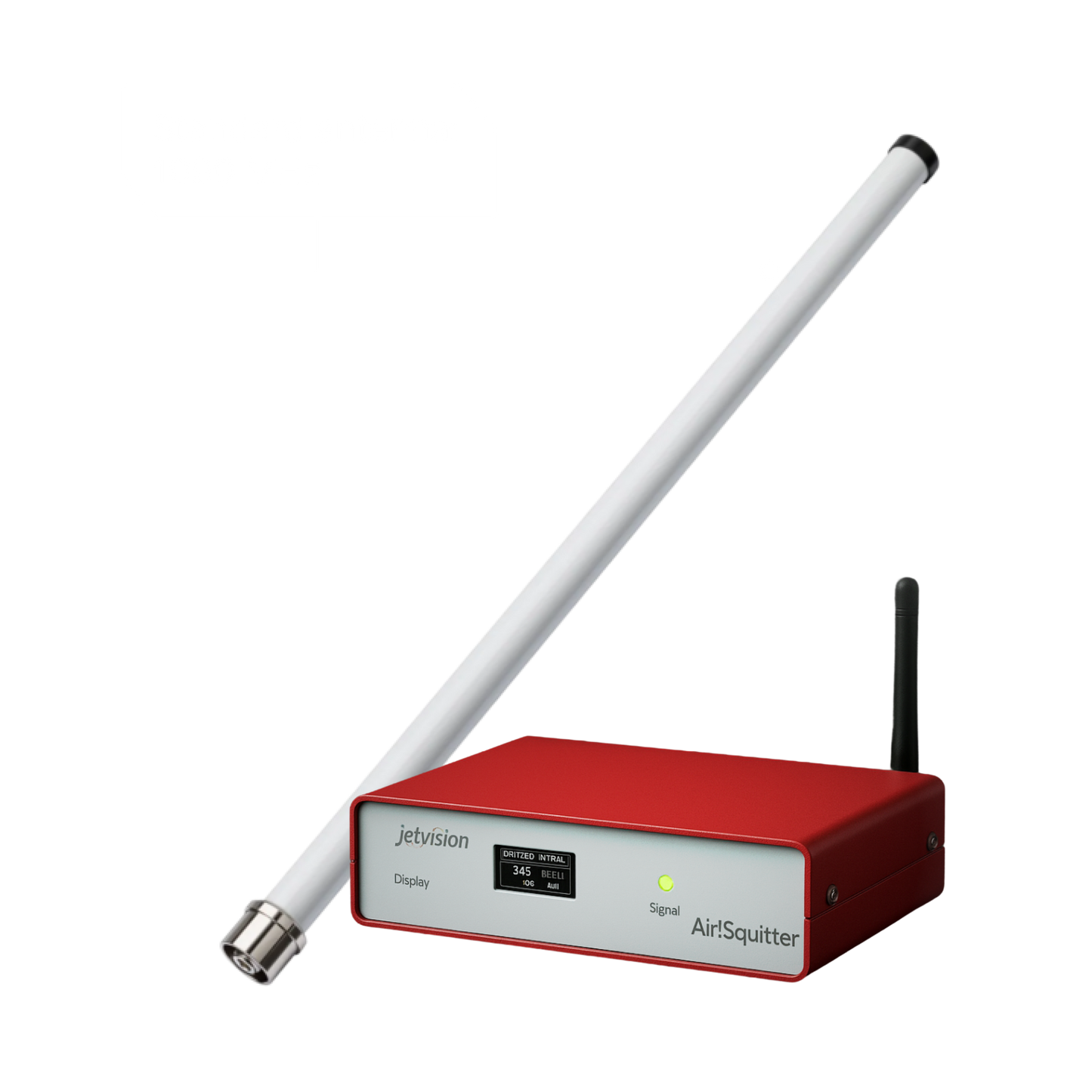
Your Solution: The 4DSKY Airsquitter
You turn the lights on.
The Airsquitter detects a wide range of signals, allowing it to see what others miss. By triangulating signals using multilateration (MLAT) with your neighbors, you add a critical security layer and reveal the “invisible” traffic—delivery drones, gliders, and uncooperative aircraft.
You aren’t just tracking planes; you are the searchlight that keeps your local airspace safe.

2. THE REGULATORY PARALYSIS
The Problem:
Regulators like the FAA (USA) and CAA (UK) are currently blocking the mass rollout of drone delivery. Why? Because they cannot authorize Beyond Visual Line of Sight (BVLOS) flights without proof that the airspace is clear. They are effectively paralyzed: they want to say “yes” to innovation, but without independent, assured data to verify safety, they have to say “no.”
Your Solution: The “Yes” Machine
You unlock the industry.
4DSKY provides the independent, assured data that regulators are desperate for. By deploying a sensor, you provide the “ground truth” data that proves the airspace is safe for autonomous flights. Your data is already being used in regulatory sandboxes (like Project BLUEPRINT) to give regulators the confidence to approve new flight corridors.
You aren’t just watching traffic; you are the reason it is allowed to fly.

3. THE RUNWAY BOTTLENECK
The Problem:
It isn’t just the air that is dangerous—it’s the ground. In Fiscal Year 2024 alone, the FAA reported 1,758 runway incursions at U.S. airports. These “close calls” on the tarmac are a growing threat. Furthermore, the resulting delays and disruptions cost the U.S. economy billions annually. Why? Because ground radar is often blocked by terminal buildings, leaving controllers blind to aircraft taxiing on the far side of the airport.
Your Solution: Ground-Level Precision
You eliminate the blind spots.
Your sensor is capable of monitoring ground traffic at airports where radar fails. By providing granular data on aircraft taxiing between gates, you help reduce the risk of ground collisions and speed up the “tarmac crawl.” You help solve the billion-dollar efficiency problem plaguing U.S. airlines today.

4. THE "SINGLE POINT OF FAILURE"
The Problem:
Modern aviation is shockingly fragile. It relies on centralized cloud servers. If those servers are hacked, jammed, or simply lose power, the entire map goes dark. In an age of cyber warfare and GPS spoofing, relying on a single central brain is a national security risk. Traditional flight-tracking networks like FlightRadar24 and FlightAware encounter this problem regularly, and if you look through their SLAs, they clearly state that the data should not be used for safety-critical use cases.
Your Solution: The Unkillable Mesh
You are the bedrock.
4DSKY is edge-native. Your sensor doesn’t just collect data; it processes, sells, and distributes it locally, directly from your home. Even if the cloud fails, your node keeps working—talking directly to local customers to help prevent accidents. You are building the unkillable, decentralized safety net that regulators are desperate for.

5. THE "INFO ONLY" TRAP
The Problem:
Did you know the flight data on your phone is useless for safety? It is legally classified as “informational only” because there is no chain of custody to prove it’s accurate. A medical drone cannot legally use that data to land because it can’t trust it. Spoofing is a real threat, and flight-tracking signals have almost no security built into their transmission. In fact, by spoofing an aircraft, it is possible to effectively take over control of an autonomous drone and control it remotely. Regulators are terrified of this risk, and operators must demonstrate how their solutions address this challenge.
Your Solution: Assured Truth
You provide the proof.
The Jetvision sensor is time-synchronized with satellites in space, meaning its signals are timestamped with an accuracy of around 30 nanoseconds. It’s this timestamp that makes multilateration (MLAT) possible and turns informational data into trusted, “safety-grade” data. This is the verifiable truth required to authorize autonomous flights.
You aren’t providing a hobbyist feed; you are providing the certified single point of truth for aviation data infrastructure.

6. THE SPEED GAP
The Problem:
In the drone economy, milliseconds matter. Standard systems route data from a sensor → to a cloud server → and back to the pilot. This creates up to a two-second delay in the relative state of every aircraft. For a drone flying at 60 mph, that delay can be the difference between a safe turn and a crash.
Your Solution: Instant Reflexes
You are the local brain.
Through the ADEX Framework, your node cuts out the middleman server. It allows pilot software to stream data directly from your sensor for local traffic, reducing latency from seconds to milliseconds. You create a “safety bubble” around your neighborhood that reacts faster than any cloud server ever could. In a world where AI is becoming increasingly prominent, the shift toward edge networks is inevitable—and 4DSKY is paving the way.