Rovr
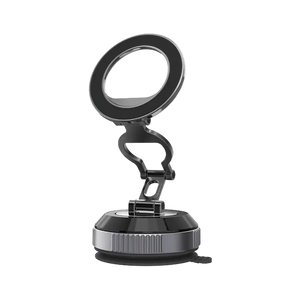
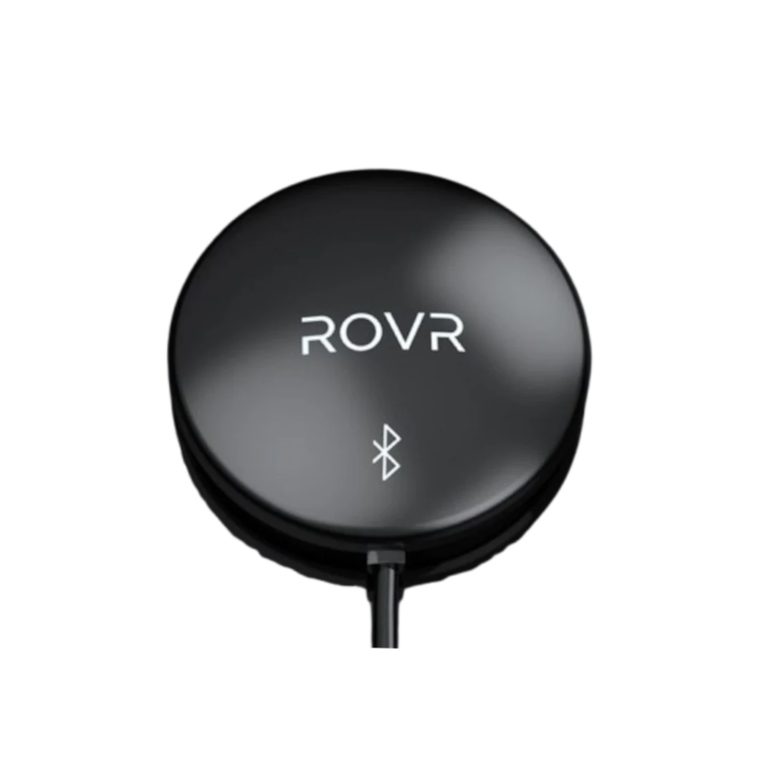
ROVR TarantulaX
ROVR TarantulaX
Couldn't load pickup availability
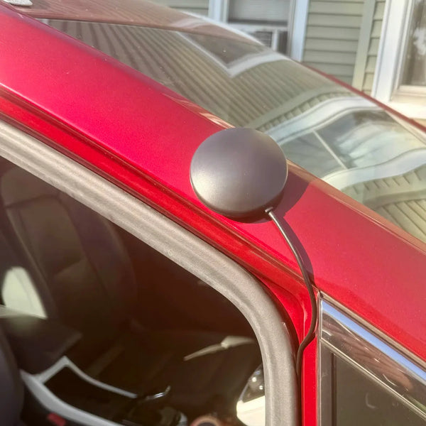
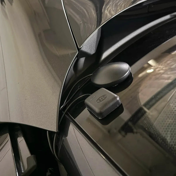
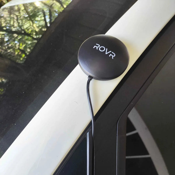
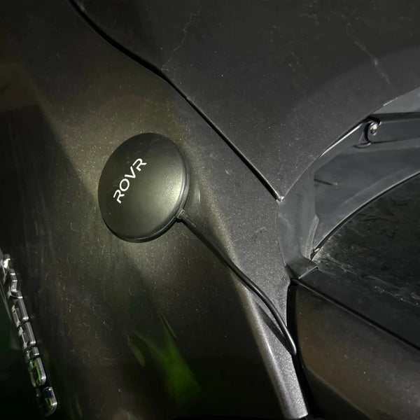
What it does:
TarantulaX is an enhanced RTK receiver that, through hardware encryption design, IMU fusion algorithms, and integration with the new generation of ROVR's hand-eye calibration model, can easily boost the user's phone accuracy to 2 cm.
What's included:
✅ TarantulaX
Features
✅ IP67 Weatherproof
✅ Positioning Accuracy: ±2 cm
Requirements:
This product needs to be installed on a vehicle.
We Accept
![]()
![]()
![]()
For full details, see our Returns, Refunds & Exchange Policy.
Unshipped order can be cancelled within 14 days of purchase.
Lost-in-transit claims must be submitted within 30 days of the ship date.
For more details, please review our Returns, Refunds & Exchange Policy.
Learn more in our Returns, Refunds & Exchange Policy.
For assistance, customers can reach the manufacturer’s support line here.
Further details are available in our Returns, Refunds & Exchange Policy.
Gain exclusive Spenders Club Access
$59/month value
Access exclusive Mining Spenders Clubs
$59/month value
View your Spenders Club progress
Enter the email you used to make your purchases and see if you've reached Silver or Gold Spender status.
Overview
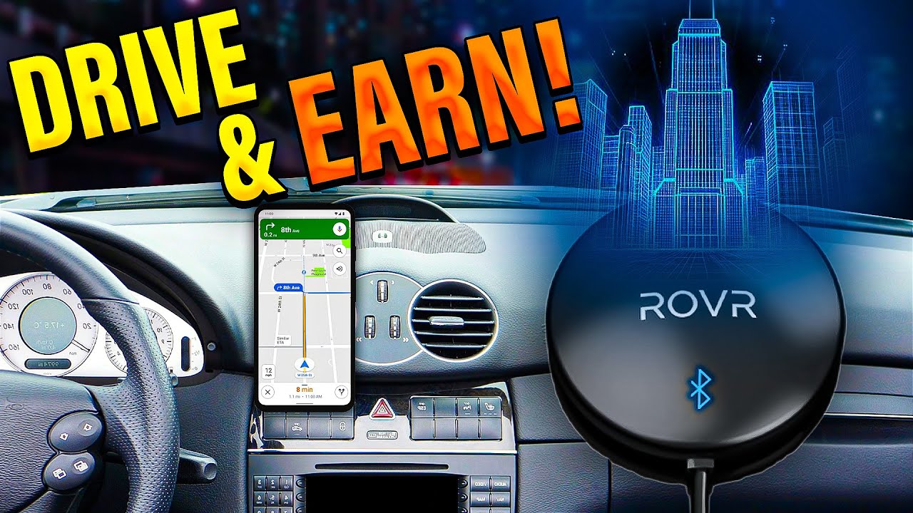
Rovr Network is a decentralized platform that collects, processes, and distributes high-definition, real-time 3D geospatial data for use in things like spatial AI, robotics, autonomous vehicles, and smart cities. It’s built on decentralized infrastructure so contributors can be rewarded for gathering real-world data while ensuring integrity and transparency.
The global data market is massive. Big data and analytics overall is worth hundreds of billions of dollars today and is projected to exceed a trillion dollars in the next decade. The narrower data brokerage and marketplace segment alone is already worth well over $200 billion and growing steadily. Buyers of this data include autonomous vehicle and robotics companies, mapping and GIS firms, smart city and infrastructure planners, telecoms, insurance and real estate businesses, as well as advertisers and location-intelligence providers.

Rewards Explanation
Data Quality Tiers and Reward Ratio
The quality of the collected data (for example, clarity, brightness, RTK accuracy) will impact the amount of $ROVR received. The final assessment will be categorized into quartiles:
Data Quality Tiers and Reward Ratio
A - Excellent: 100%
B - Good: 75%
C - Average: 50%
D - Below Average: 25%
F - Failing: 0
Weekly Road Revisit Rewards Decay
Each road will see a 50% reward reduction for every two additional collections.
Road Visits and Reward Ratio
1st to 2nd: 100%
3rd to 4th: 50%
5th to 6th: 25%
7th to 8th: 12.5%
Gain access to exclusive online communities
The more you spend on HeliumDeploy devices, the closer you get to unlocking the Silver and Gold Spenders Clubs on Discord. These exclusive clubs help you deploy correctly, stay informed, and ultimately earn more.
away from Spenders Club
$59/month value
away from
Spenders Club
 $59/month value
 $89/month value
View your Spenders Club progress
Enter the email you used to make your purchases and see if you've reached Silver or Gold Spender status.
Suitability criteria
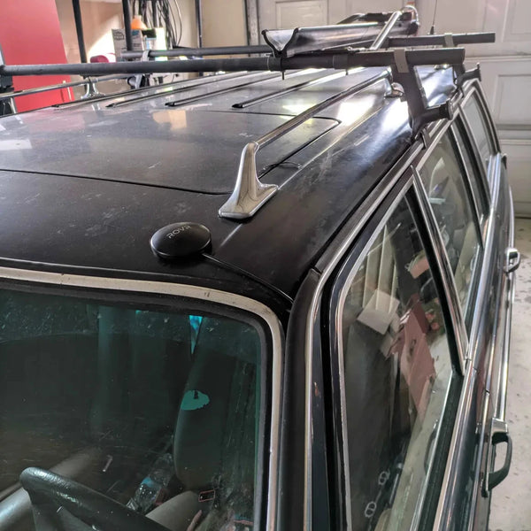
Installation