Geodnet
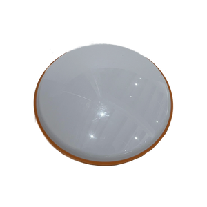
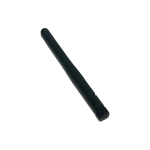
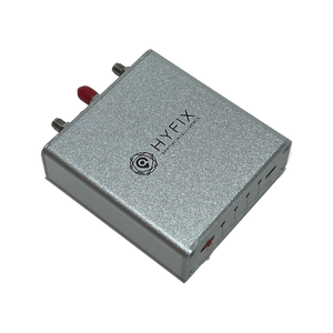
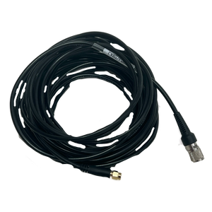
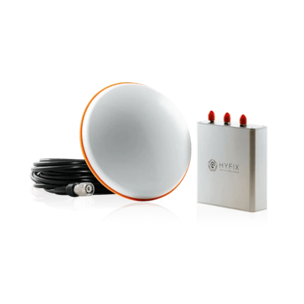
Geodnet MobileCM (Triple-band)
Geodnet MobileCM (Triple-band)
Couldn't load pickup availability
What it does:
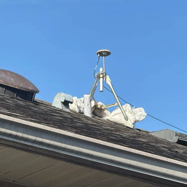
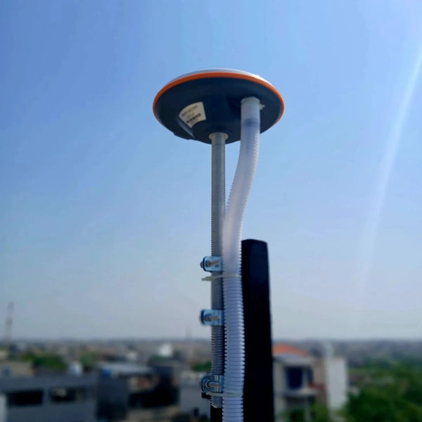
This device provides RTK services.
What it earns:
$GEOD Tokens.
Shipping:
🚚 In stock — ships within 10 days.
What's included:
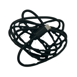
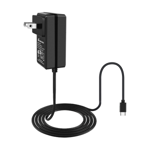
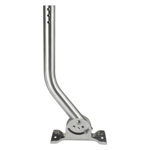
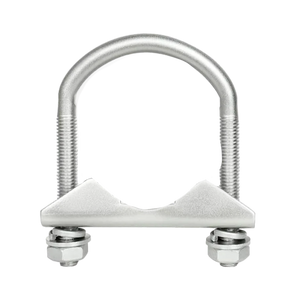
 Geodnet MobileCM (Triple-band).
 3 FREE months of Moken DePIN Tracker Pro. ($150 value)
Features:
✅ Survey Grade.
✅ Centimeter-level accuracy.
✅ Delivers Real-Time Kinematic (RTK) and Precise Point Positioning (PPP) corrections.
✅ Weatherproof.
Requirements:
✅ Works worldwide.
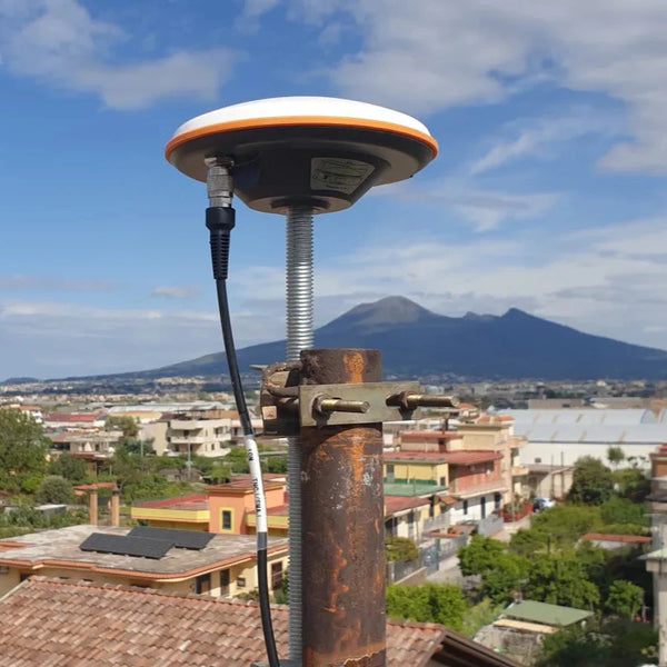
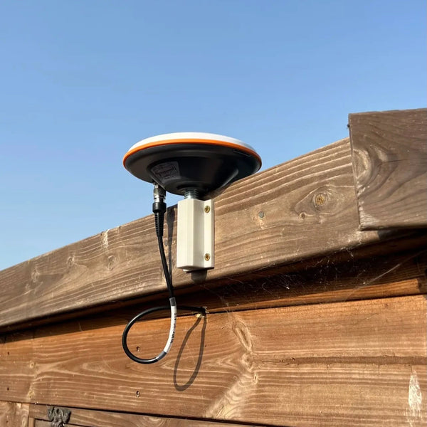
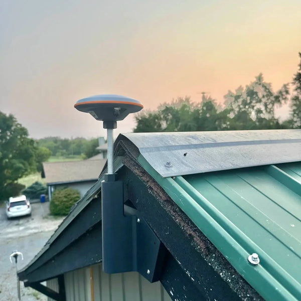
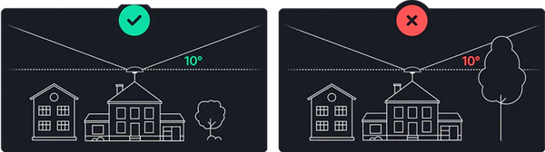
✅ Must be installed outdoors.
We Accept
For full details, see our Returns, Refunds & Exchange Policy.
Unshipped order can be cancelled within 14 days of purchase.
Lost-in-transit claims must be submitted within 30 days of the ship date.
For more details, please review our Returns, Refunds & Exchange Policy.
Learn more in our Returns, Refunds & Exchange Policy.
For assistance, customers can reach the manufacturer’s support line here.
Further details are available in our Returns, Refunds & Exchange Policy.
Gain exclusive Spenders Club Access
$59/month value
Access exclusive Mining Spenders Clubs
$59/month value
View your Spenders Club progress
Enter the email you used to make your purchases and see if you've reached Silver or Gold Spender status.


Gain access to exclusive online communities
The more you spend on HeliumDeploy devices, the closer you get to unlocking the Silver and Gold Spenders Clubs on Discord. These exclusive clubs help you deploy correctly, stay informed, and ultimately earn more.
away from Spenders Club
$59/month value
away from
Spenders Club
 $59/month value
 $89/month value
View your Spenders Club progress
Enter the email you used to make your purchases and see if you've reached Silver or Gold Spender status.
Overview
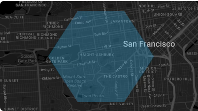
Geodnet RTK is a real-time kinematic (RTK) correction service powered by the Geodnet satellite network. It uses a decentralized network of GNSS (Global Navigation Satellite System) base stations to provide centimeter-level positioning accuracy to compatible GPS devices. In short, it improves raw GPS signals by correcting for errors like atmospheric delays, making it ideal for applications such as surveying, precision agriculture, autonomous vehicles, and drone operations.
The GNSS/RTK correction services market is valued at roughly USD 600–700 million today and is expanding steadily. Growth is being driven by the adoption of precision positioning in areas like agriculture, construction, surveying, drones, and autonomous vehicles. Analysts expect the market to exceed USD 1–2 billion within the next decade, with some projections putting it significantly higher as autonomous mobility and large-scale IoT deployments mature. The expansion is supported by both government infrastructure investments and private-sector demand for centimeter-level accuracy across industries.


Suitability criteria
Installation