A DePIN Tracker license is included for free with this purchase
Value $250
Skip to product information
1 of 1

Rovr

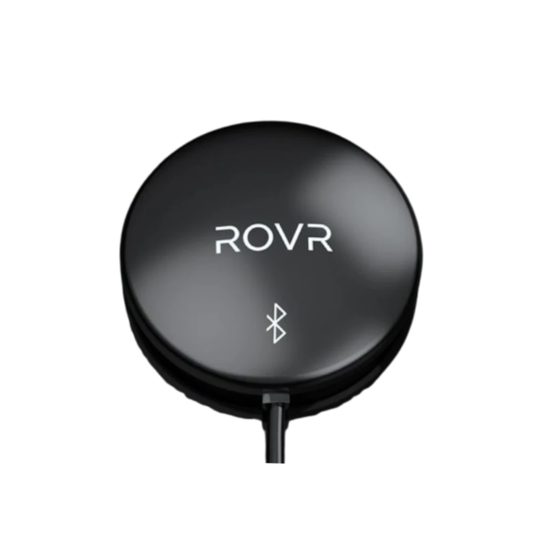
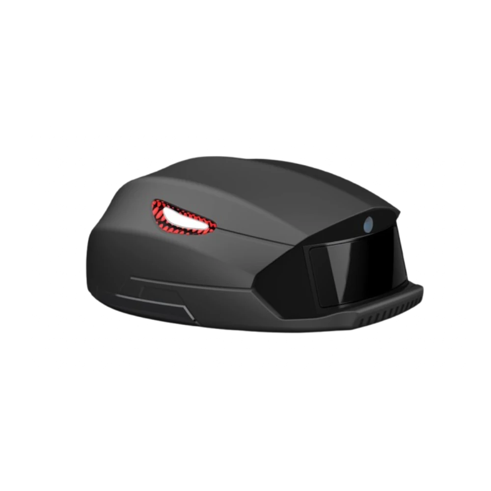
ROVR TarantulaX

ROVR TarantulaX

Regular price $149.00 USD
Regular price Sale price $149.00 USD
Sale Sold out
Shipping calculated at checkout.
  • In Stock same day


What it does:

TarantulaX is an enhanced RTK receiver that, through hardware encryption design, IMU fusion algorithms, and integration with the new generation of ROVR's hand-eye calibration model, can easily boost the user's phone accuracy to 2 cm.

What's included:

✅ TarantulaX

Features

✅ IP67 Weatherproof
Positioning Accuracy: ±2 cm

Requirements:

‍This product needs to be installed on a vehicle.

We Accept

View full details

Learn more about
ROVR

  • Reward Points ($ROVR) Calculation

    5.6.1 Base Reward

    • For TarantulaX device users, a base reward of 30 $ROVR is given for every 100 kilometers covered.
    • Area Exploration Effect: Each road (separated by direction) earns a full reward the first time it's covered within a natural week.
  •  Data Quality Reward Multiplier

    Contributors to ROVR earn rewards based on the quality and accuracy of their collected data. The better the data—judged by factors like clarity and precision—the higher the score, leading to increased rewards. Top-performing users can receive multipliers of up to 5x on their base reward. For example, for every 100 kilometers of high-quality data, contributors can earn 150 ROVR tokens (base 30 ROVR x 5). Achieving RTK Fixed Solutions brings the highest multiplier, doubling the reward potential.

  • Rovr token launch

    Expected to be for the Q2 2025 token launch and earn ROVR tokens by contributing to the network. Start collecting data today and secure your place in the future of geospatial services!

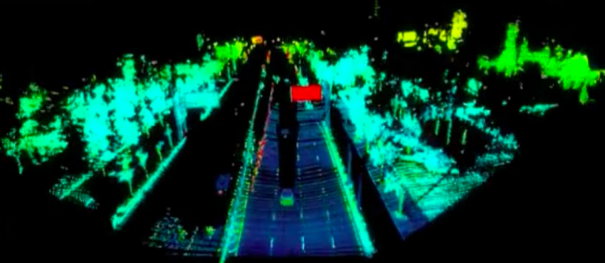
3D Data for AI training is incredibly scarce

Installation Process

Setting up the TarantulaX Mini takes 30 minutes:
1- Install on your roof or balcony from car sunroof or side of the vehicle.
2- Pair with your smartphone using the ROVR app. Use a phone bracket
3- Start contributing geospatial data and mapping with your phone while earning tokens.
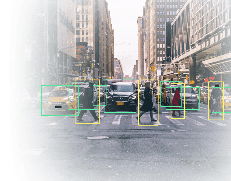
Map using your smartphone

Plug your phone to the ROVR app and the AI software analyses video streams in real-time to detect a wide range of events. Your phone will map the road and send the information to ROVR server's.
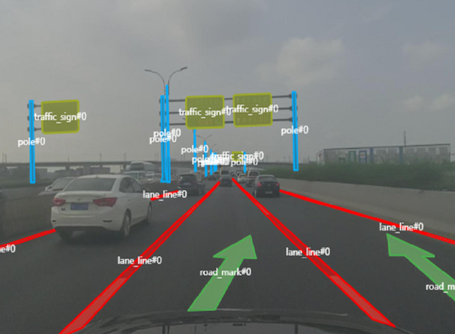
HD Mapping and 3D Meta Data for SpatialAI Training

Data is processed by professional data processing companies into highly commercialized data products. These processed datasets are used by data consumers in areas like intelligent driving and spatial AI training.
New Drive to Earn Crypto Project could make you thousands! | Get in Early!

HD Map Mapping

ROVR will develop a mobile app that uses smartphone cameras for real-time HD map updates. It will reconstruct 3D environments from images and optimize the camera’s settings to account for shifts in position, such as those caused by windshields or phone holders. The app estimates depth for each pixel and aligns collected images with existing HD maps to enhance their accuracy.

  • Company Overview

    ROVR works alongside Geodnet to expand decentralized geospatial services. The Lightcone Max upgrade (Q2 2025) will enhance network performance, making ROVR a leader in decentralized mapping solutions.

  • Key Issues

    Data Consistency & Accuracy: Ensuring decentralized contributions maintain high-quality standards across diverse regions.

    Sensor Synchronization: Integrating data from various devices like TarantulaX Mini + smartphones to create unified mapping outputs.

  • Main Challenge

    Network Adoption: Expanding the number of users who install nodes and contribute valuable data.

    Data Quality & Reliability: Ensuring that the decentralized model consistently provides accurate, high-resolution geospatial data.

    Monetization & Token Value: Aligning token incentives with network growth and ensuring sustainable demand for geospatial data.

Meet the team

The team has experience in manufacturing and supply chain. Previous a manufacturing powerhouse with Helium Pisces miner. Yuan also has experience in mapping architect and AI algorithm. He spearheaded the development of China's first mass produced vision-based crowdsourced mapping system.